 On the way to my Dad's house, the Lopatcong Creek (normally 4 feet wide and 6" deep) was a little over her banks. By about 4' at road level. |
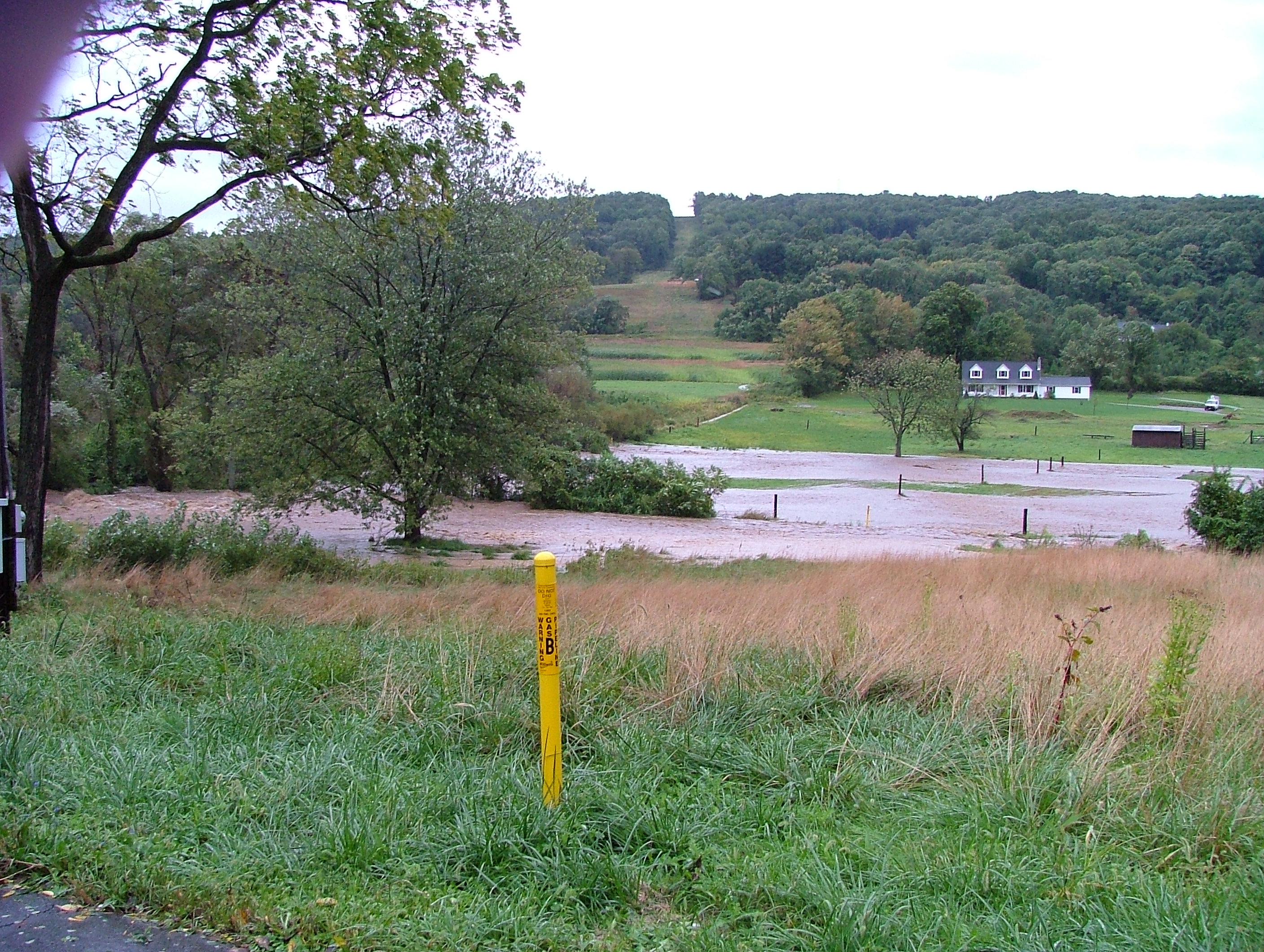 Just downstream from the road she flooded this paddock. |
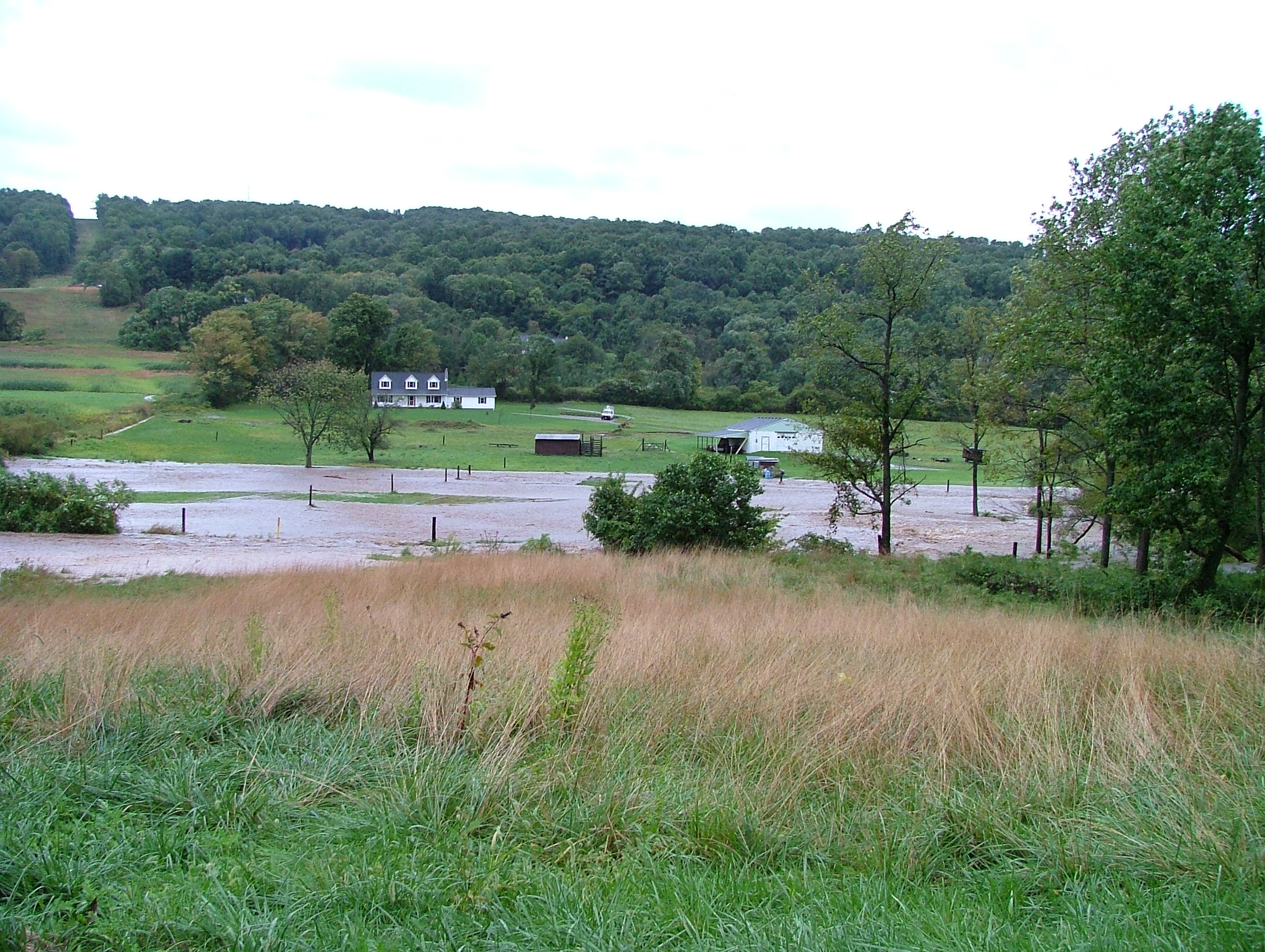 Another view of the paddock. |
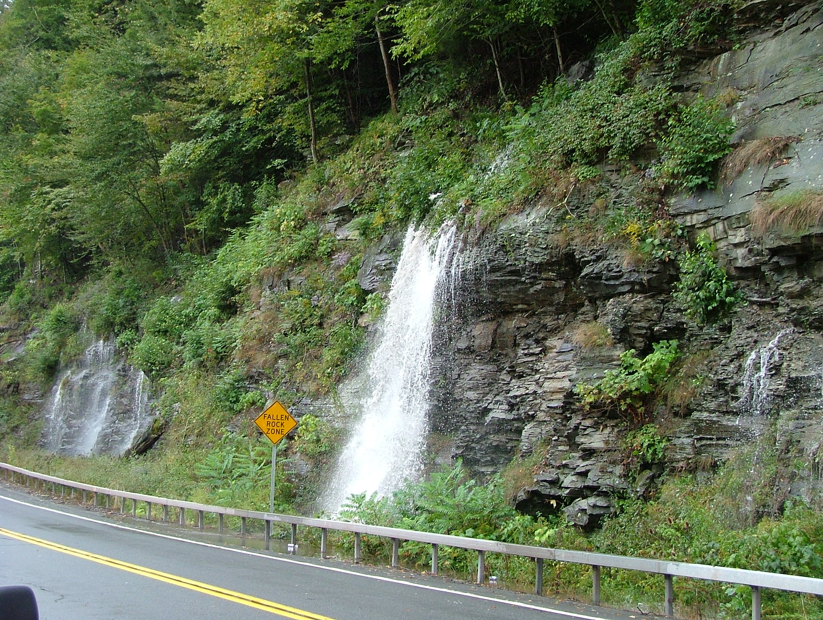 On Route 30, just about a half mile from the bridge to cross over to the campground, God provided a waterfall. |
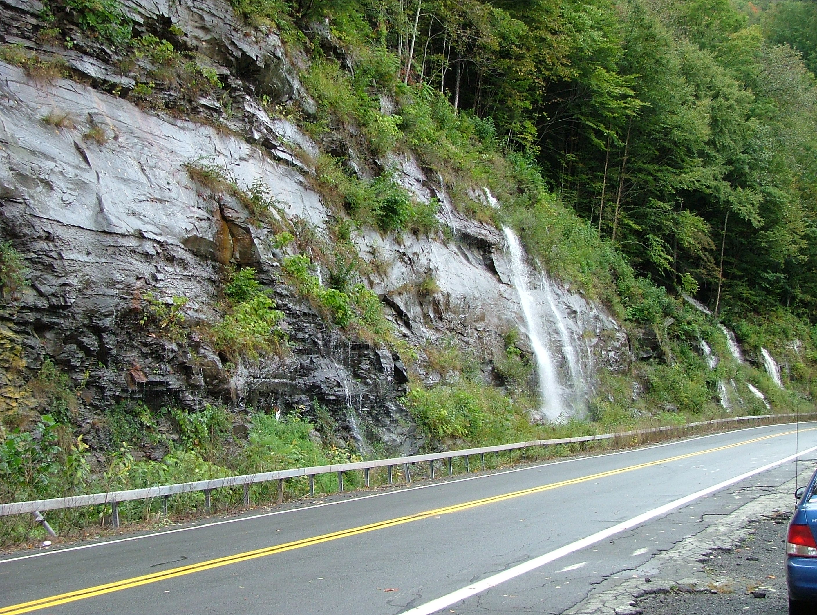 The photos don't do justice to the beauty, even in the destruction around this. It was great. |
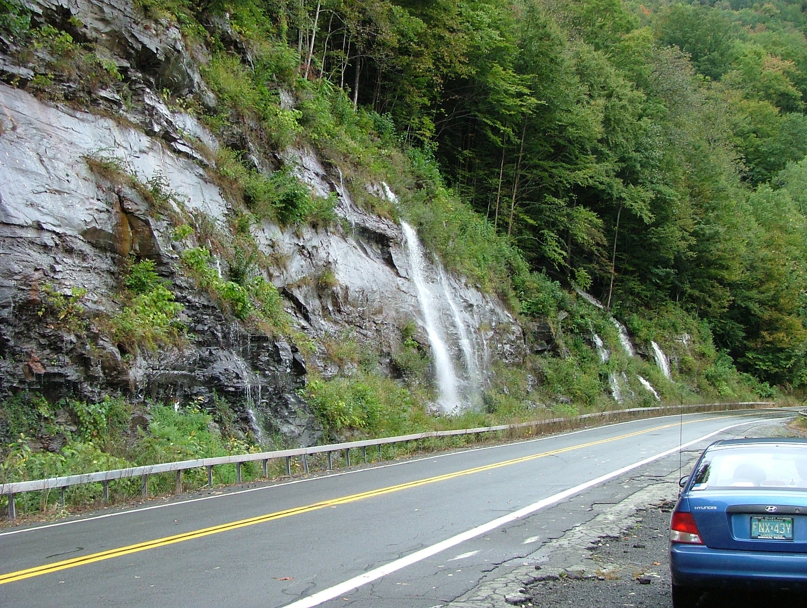 Several of us stopped here to admire it. Kinda reminds me of Moses striking the Rock for water for the Israelites. |
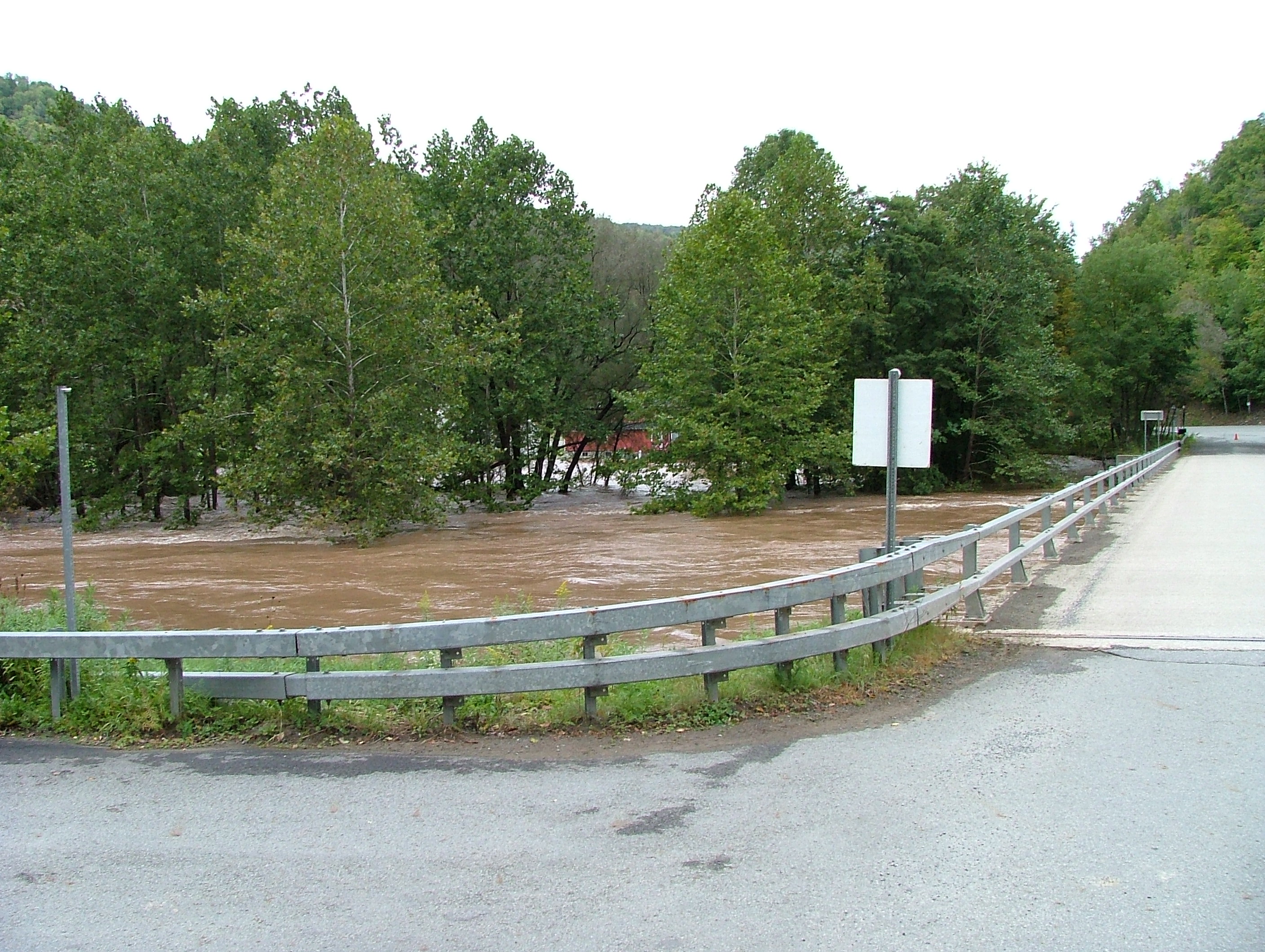
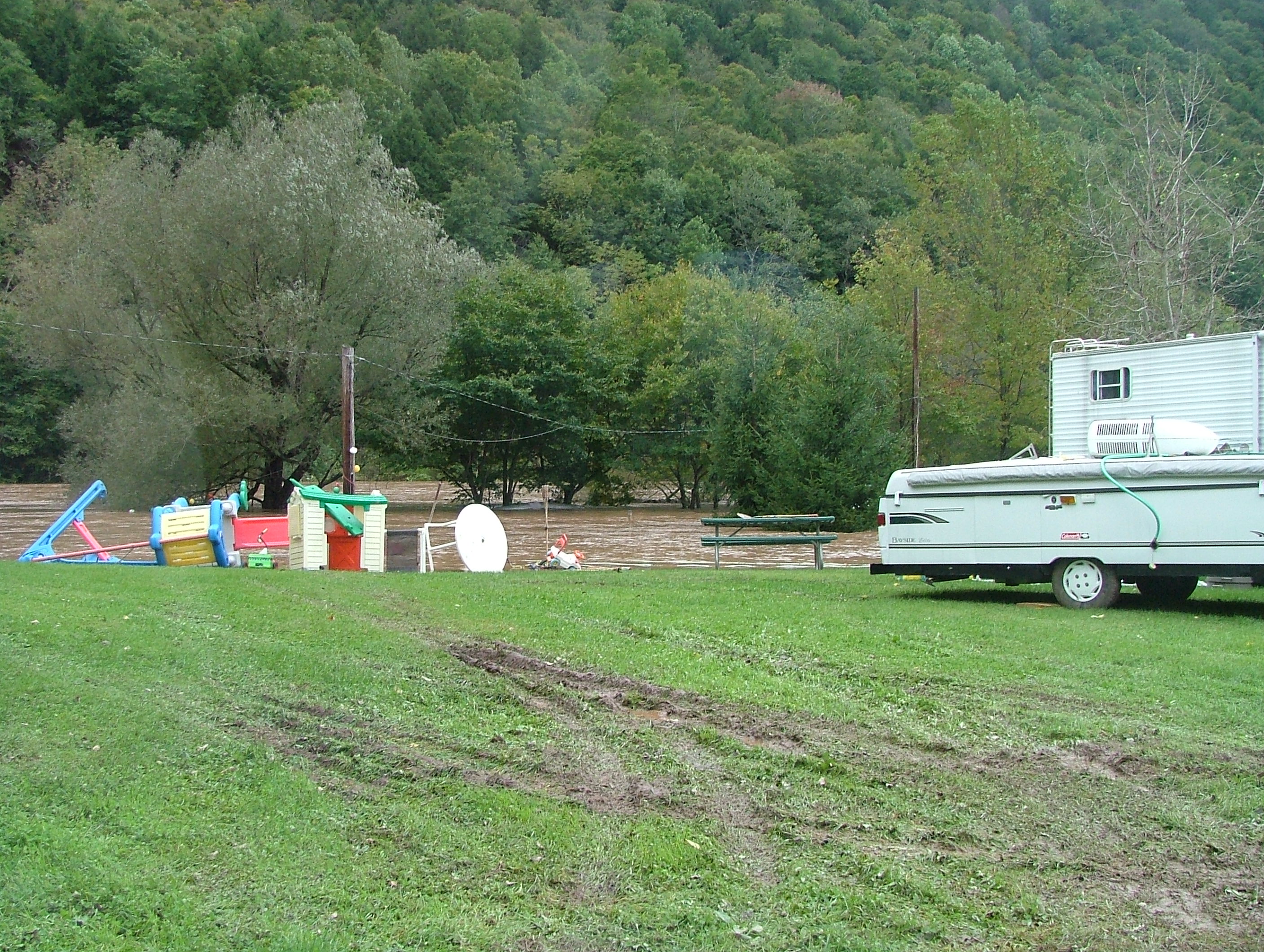 Inside the campground, the East Branch is normally on the far side of that island of trees. |
 It came up overnight, and around noon was still rising about 4" per hour. |
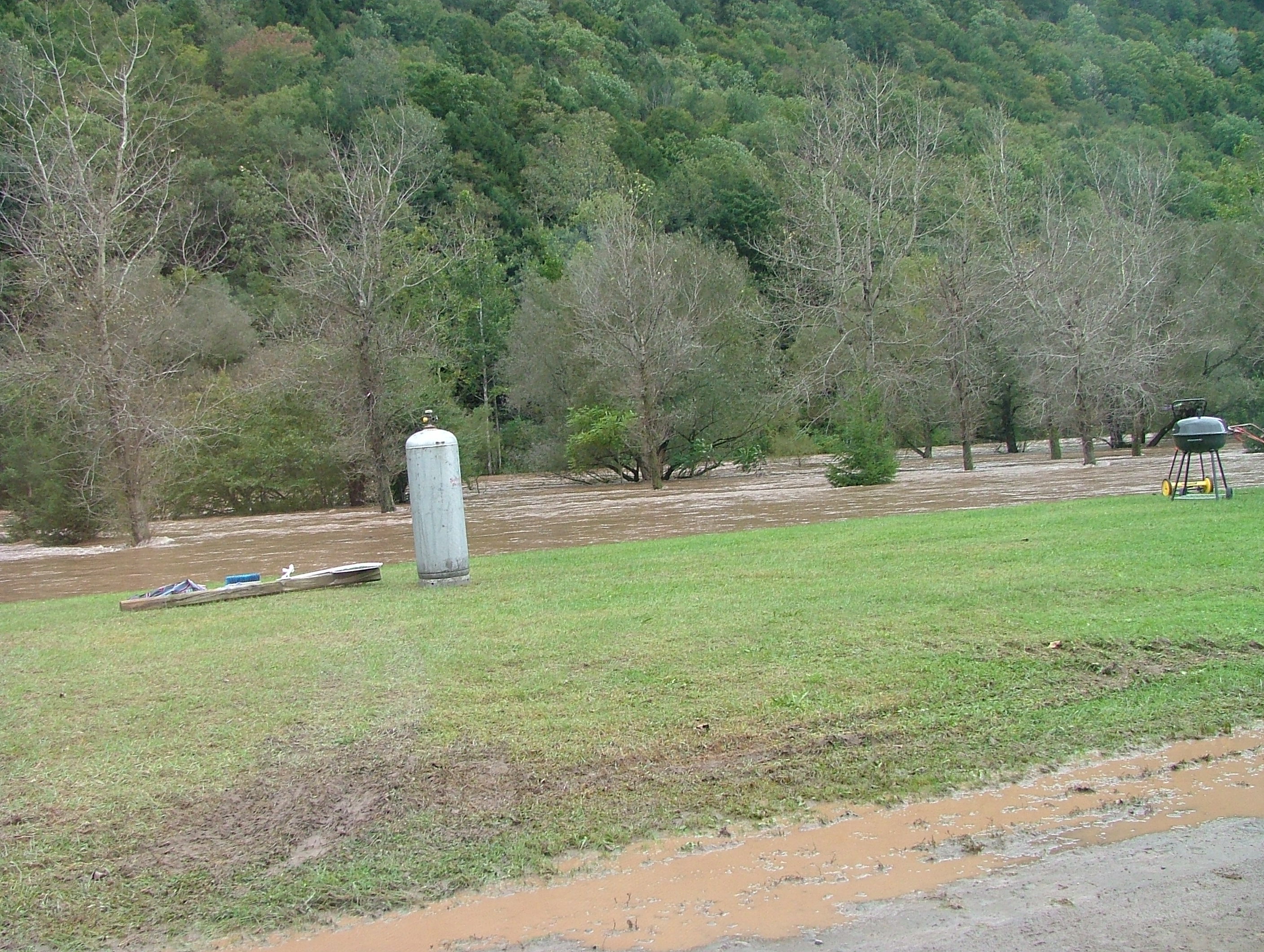
 There's a LOT of water flowing here!
 |
 Just a few photos of the bridge entering the campground area. |
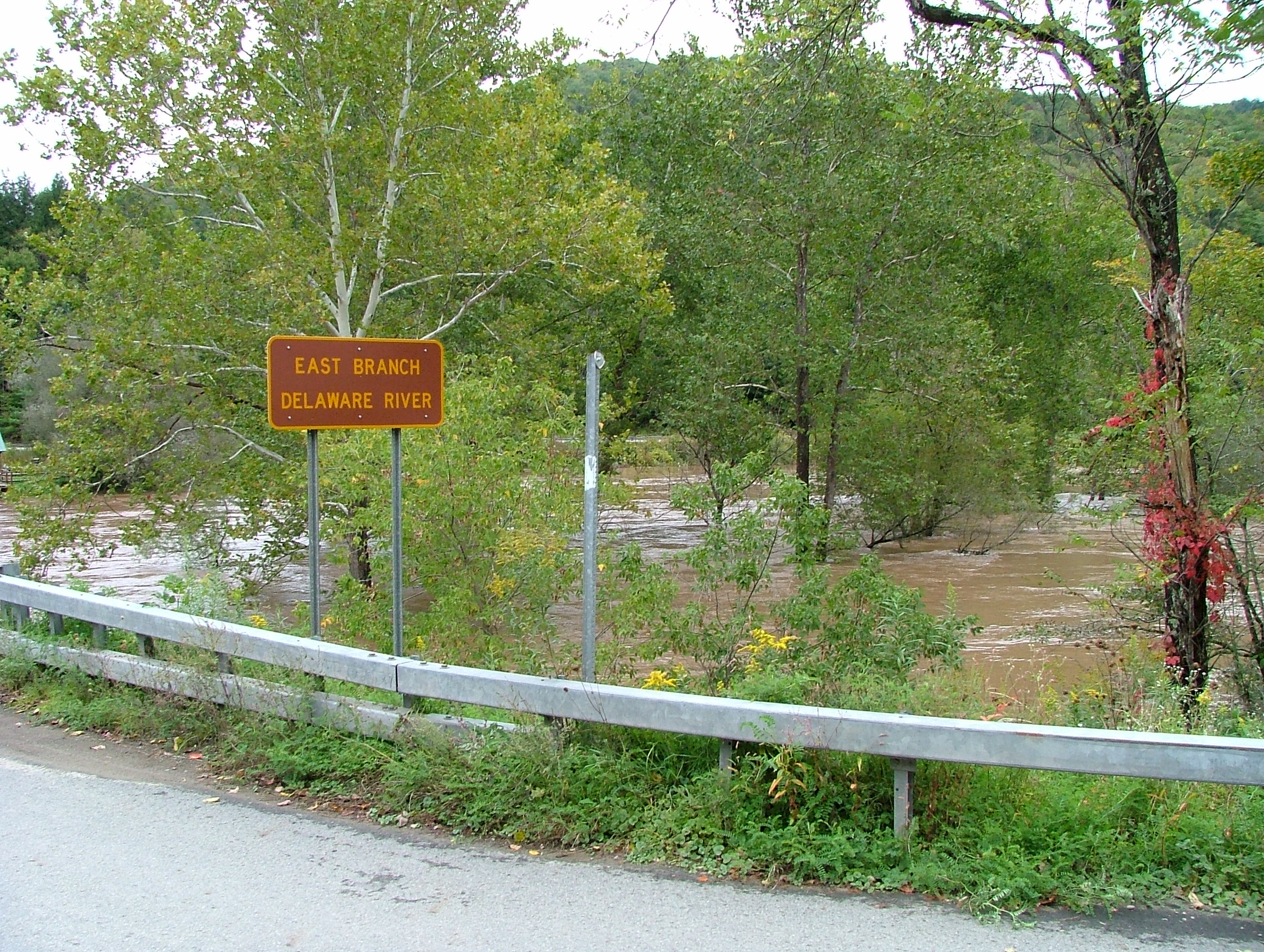 Normally the river is about 30' wide and 6-12" deep (other years). |
 This is a shot of the water after it has passed under the bridge (right to left flow). |
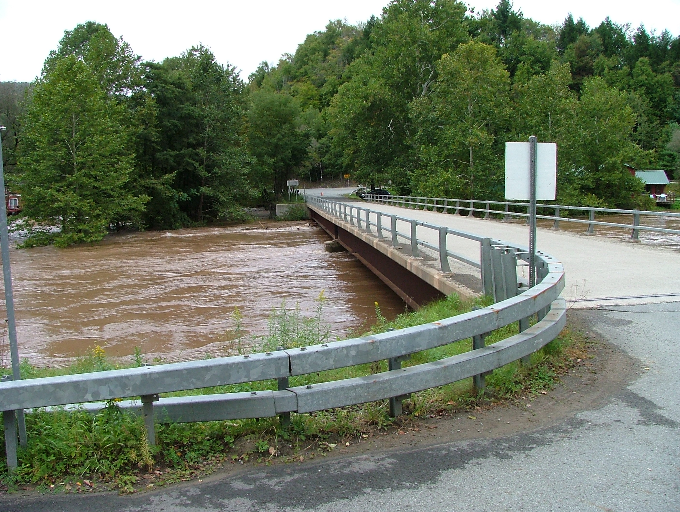 And normally my kids could walk under the bridge and not have to worry about bumping their heads. |
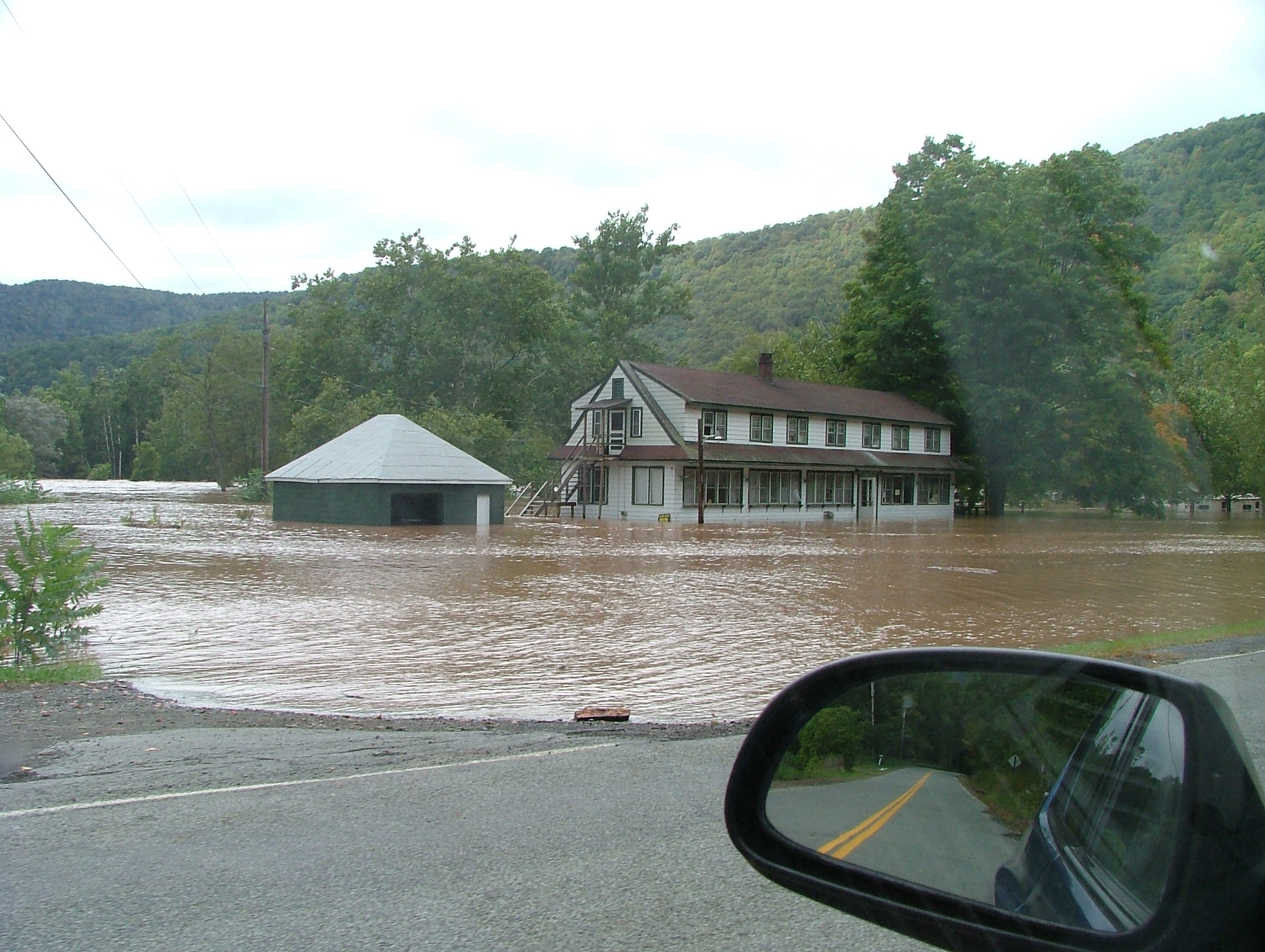 Normally this is about 800' from the river bank. In the background, some of the trailers had only a foot above water. |
|