All photos used my wife Gail's electrified Global Easy Answer to loft it.
Many have explanations with them so you know what you are looking at.
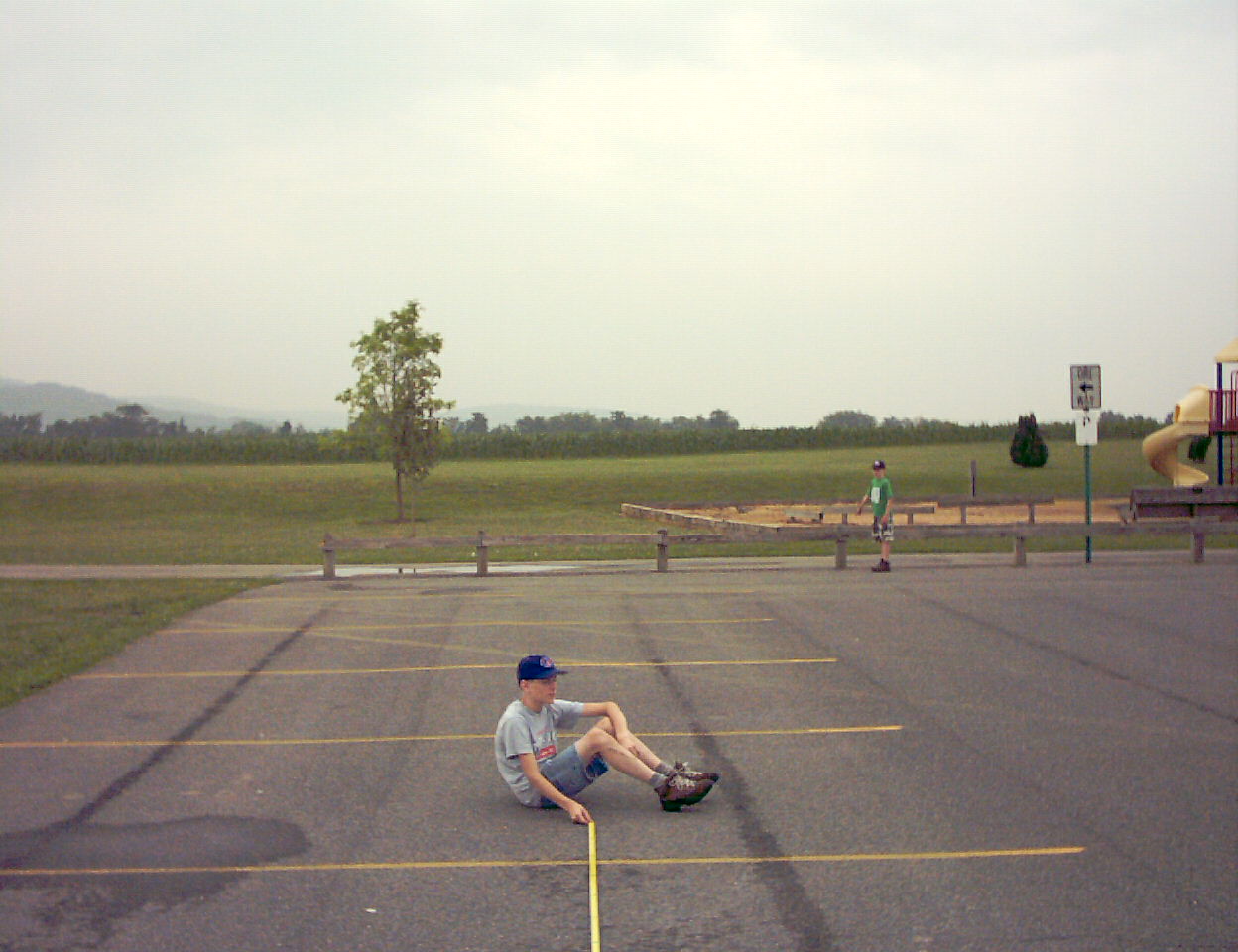 Calibration photo to be used to help determine distance and/or altitude from photos |
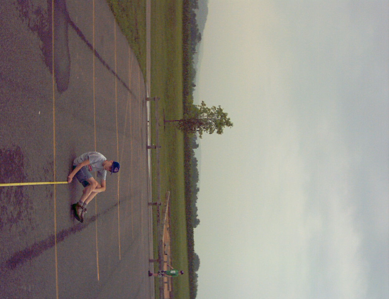 The left edge of the leftmost pole to the right edge of the rightmost pole (see where Caleb is pointing) is 279.5" The photo was taken from 864" away. |
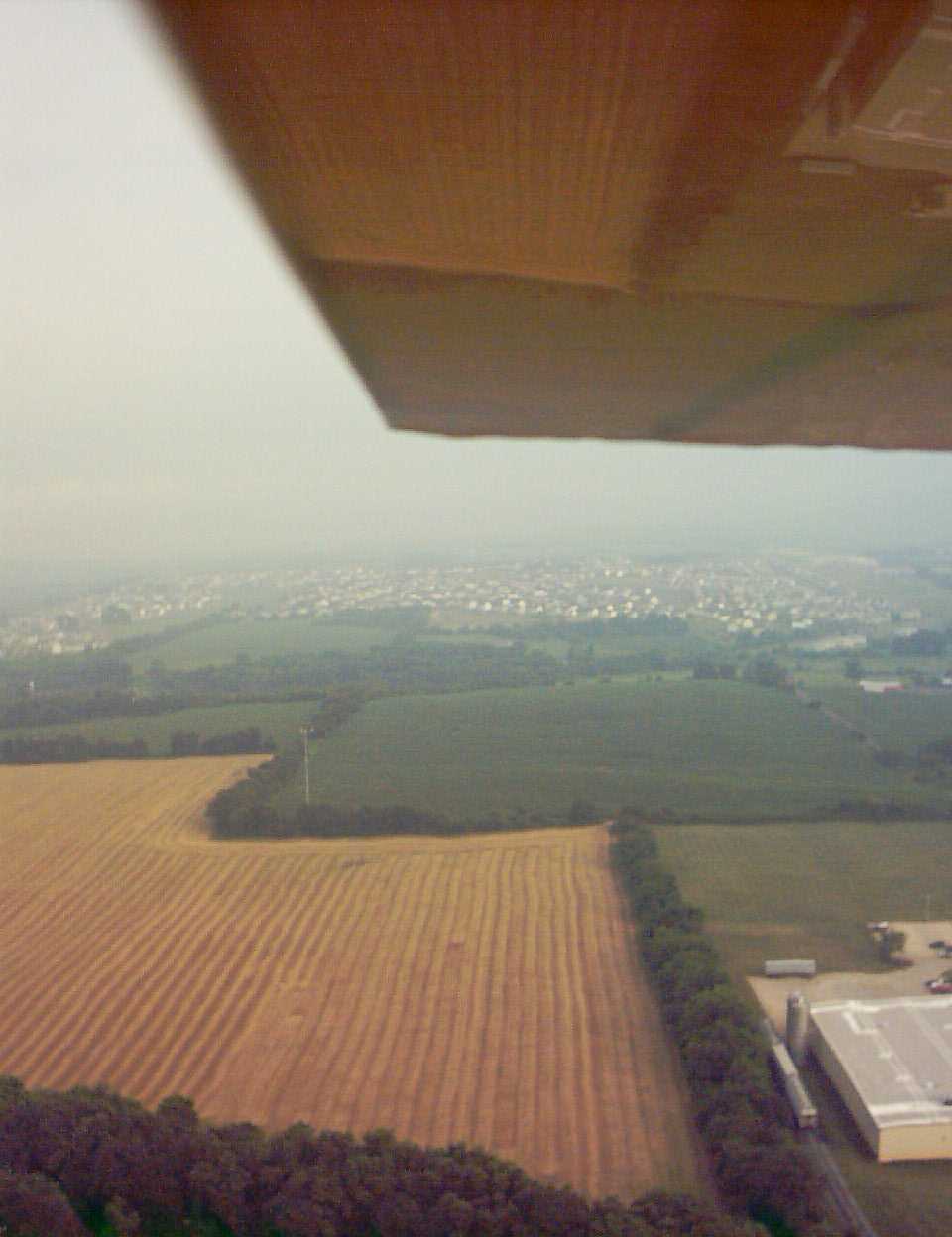
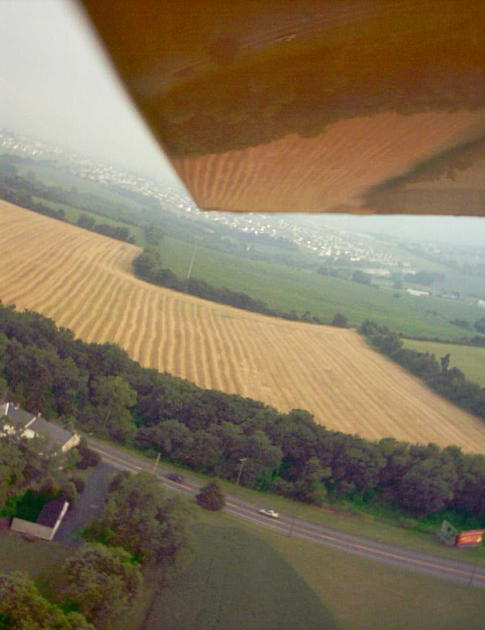
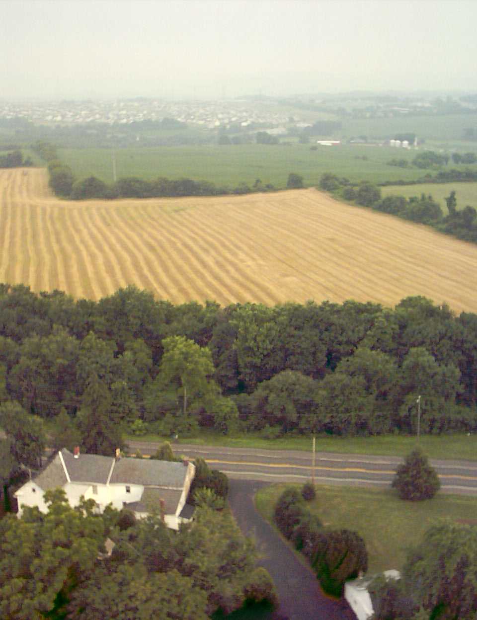 Recently mowed wheat. He didn't get it baled in time - there's a storm about to hit! |
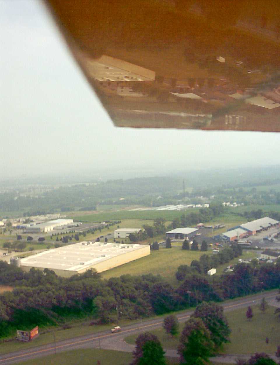
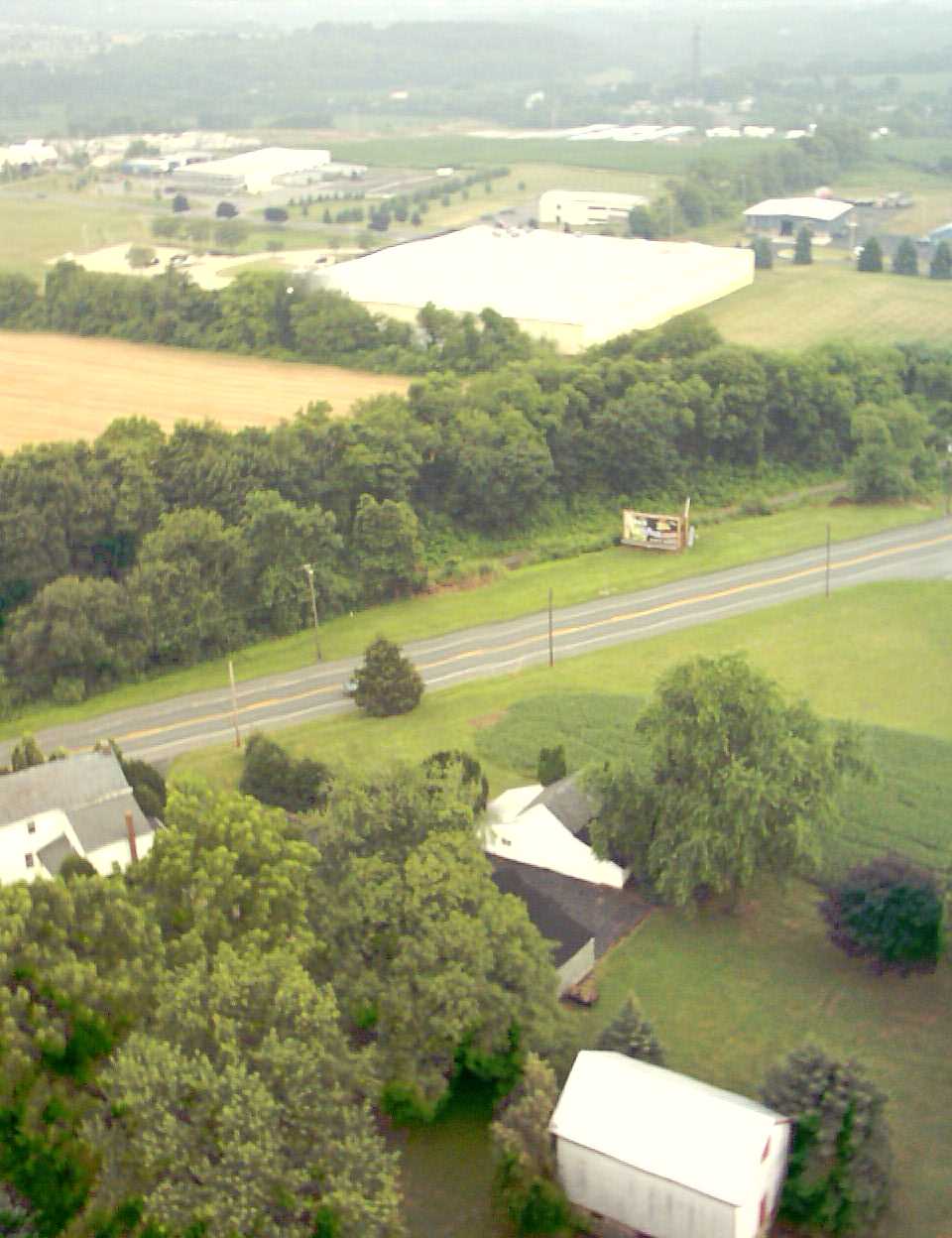 The large white building is Captive Plastics on Strykers Road. |
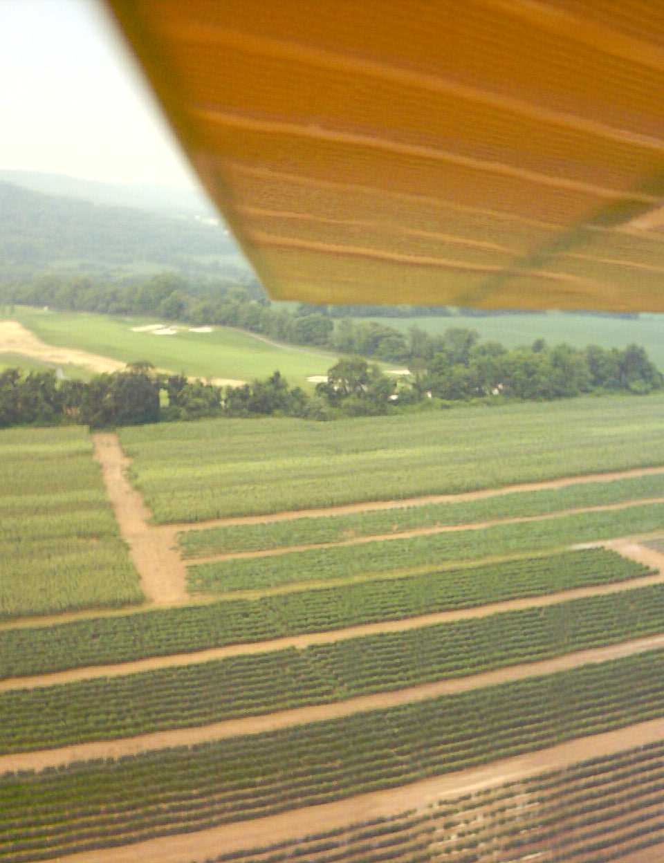
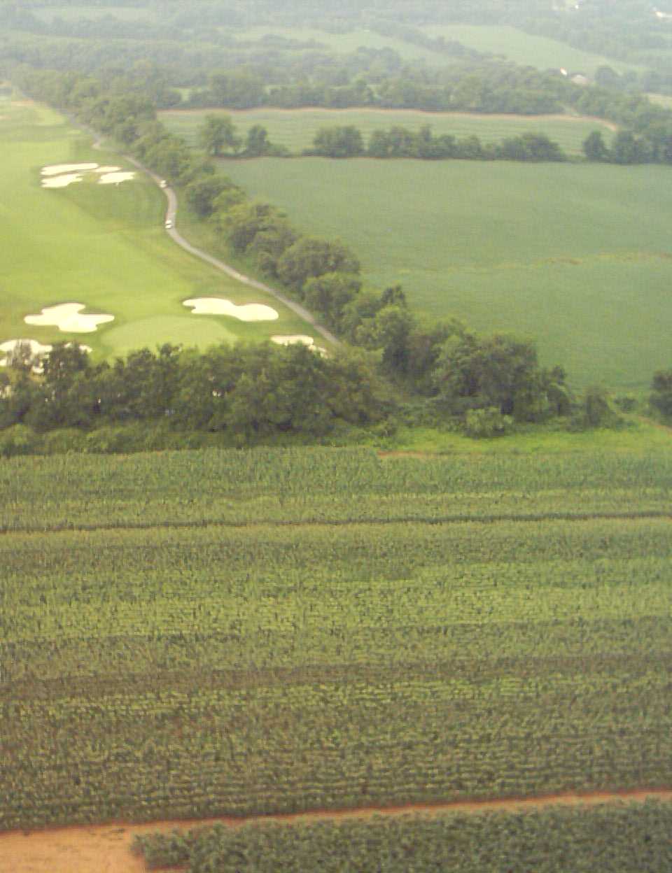 A corner of The Architects golf course. |
 Nice altitude over Rt 57, looking ESE. The group of buildings down/left of center is Lopat Plaza where Hog Hollow Barbecue resides |
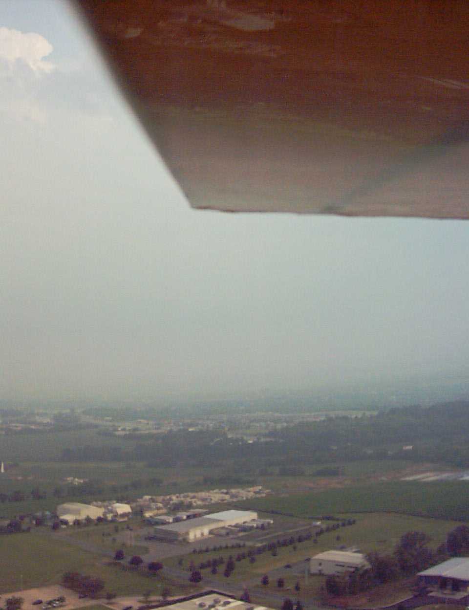
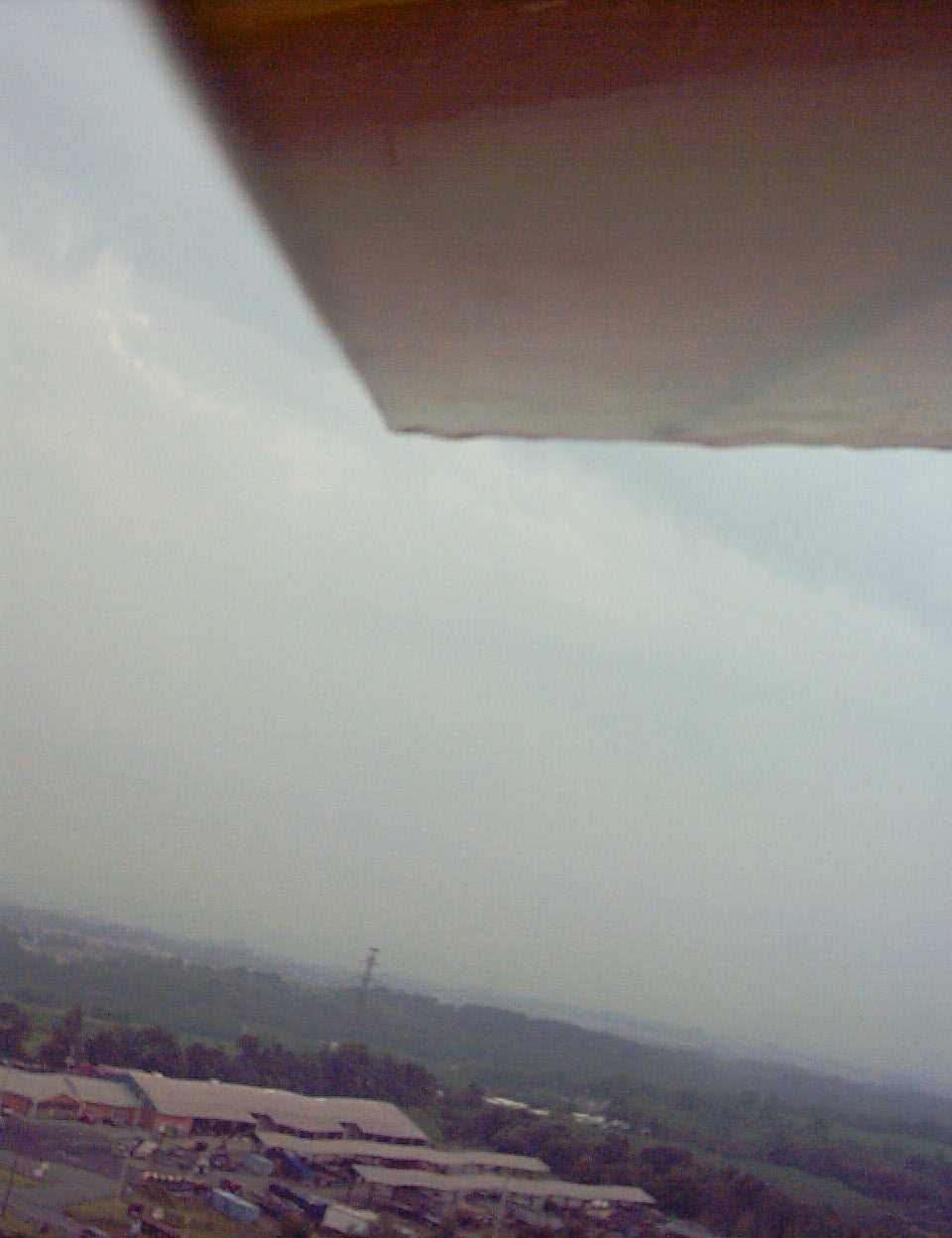
 Facing almost due S you can see how humid it was prior to the storm hitting. |
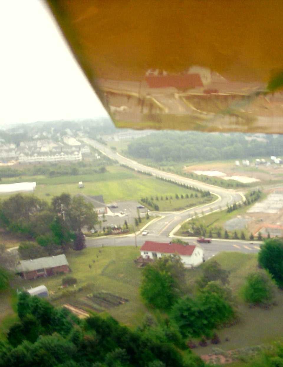
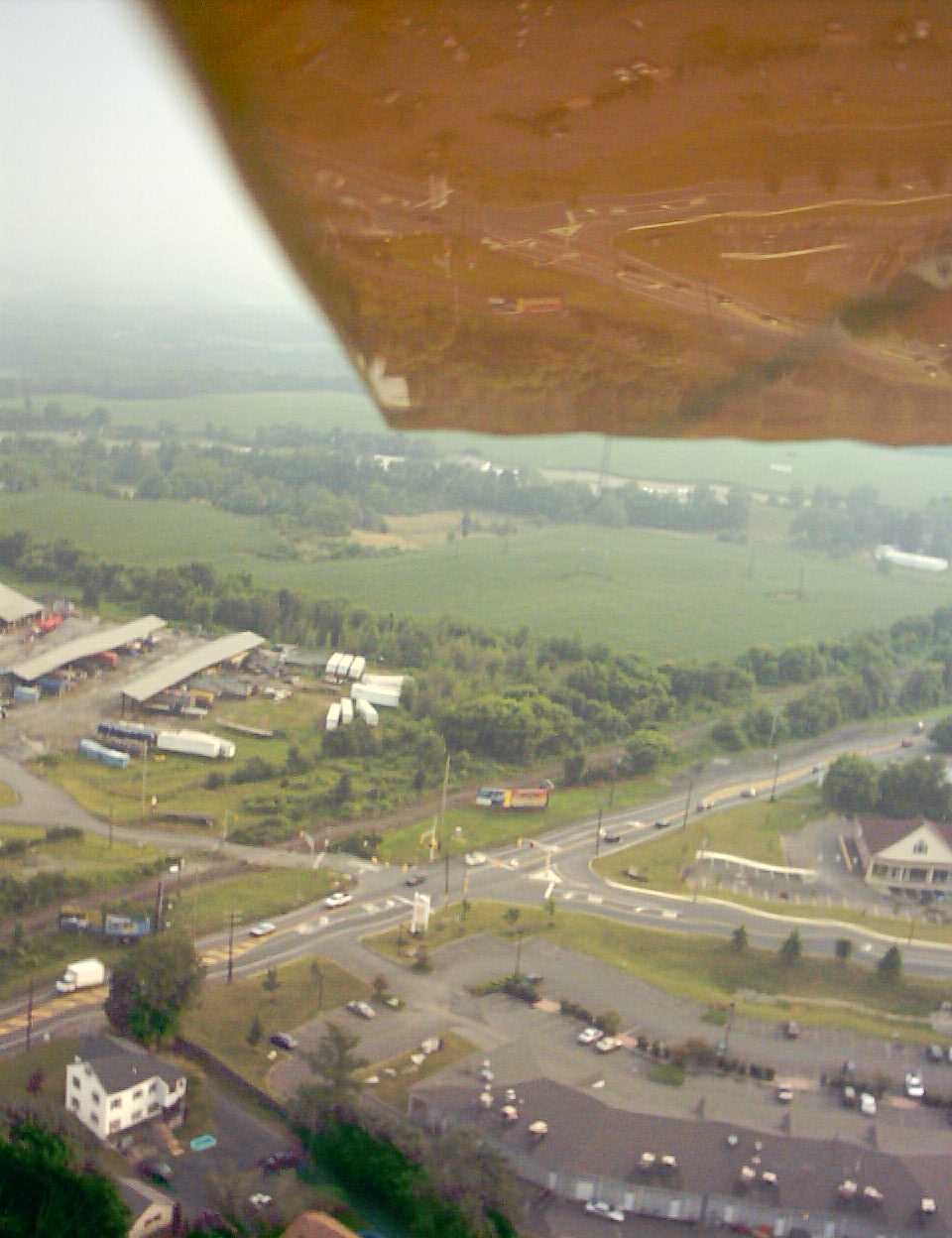 The intersection of Rt 57 and Strykers Road, facing SW. |
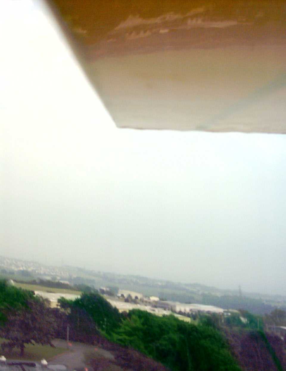
 Not sure, but it shows the humidity pretty well. |
 Another shot of the businesses on Strykers Road. |
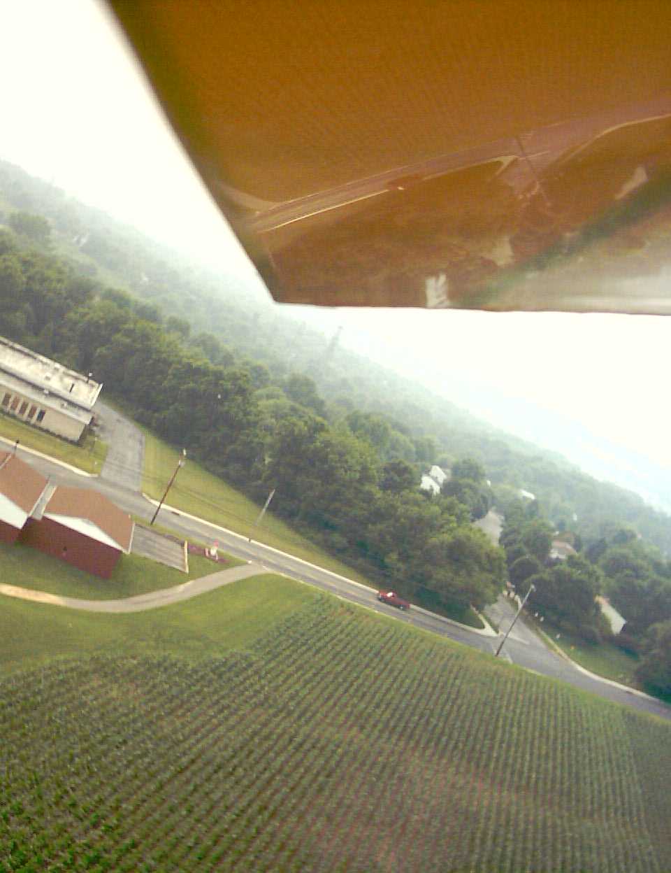
 Right next to the school field a farmer has neat rows of veggies. |
 Back side of the Lopat Fire Dept. The tan building is Fromm Electric. |
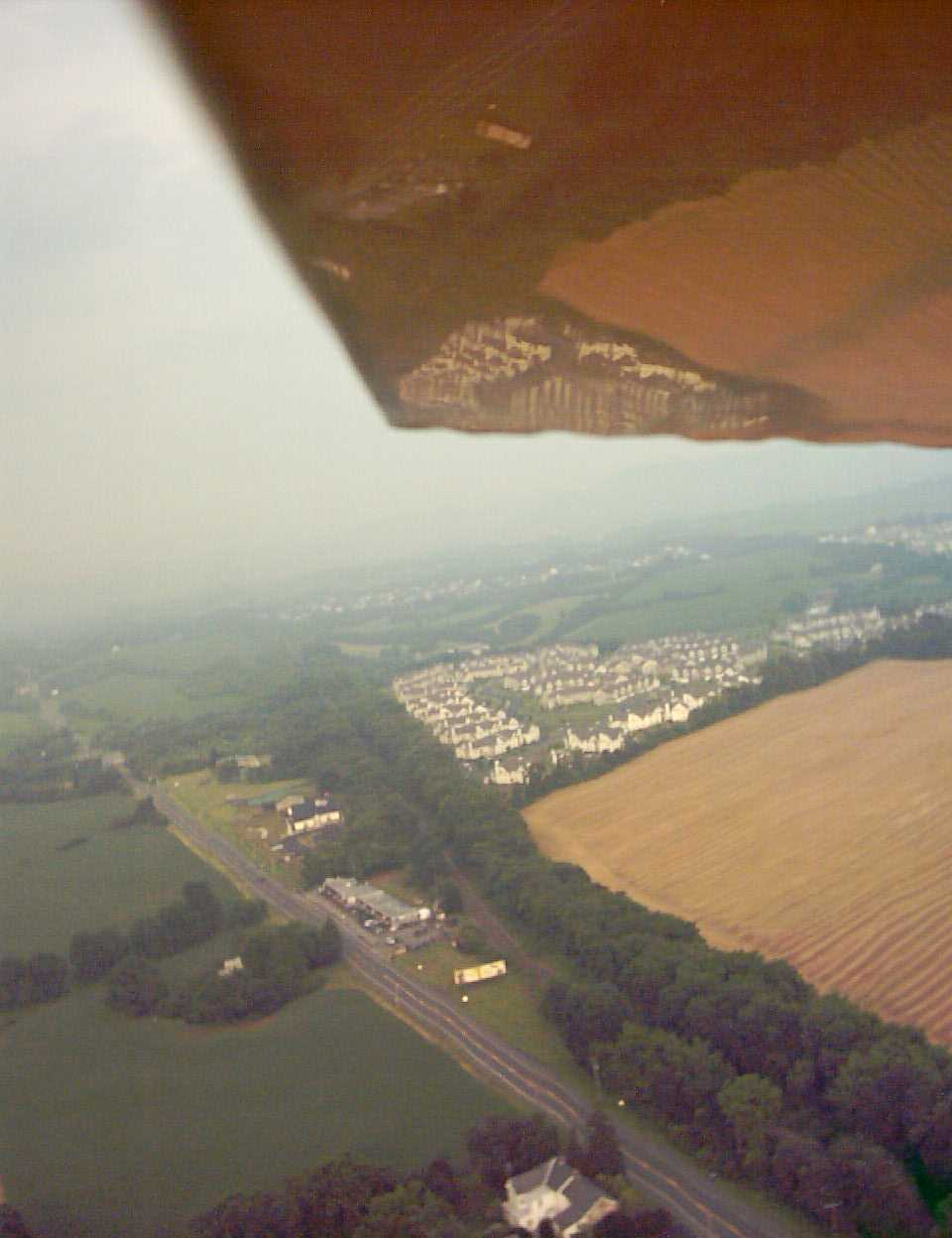
 The extended Baltimore Street intersects with Strykers Road. SPRAWL :( |
 That's the old Wickes facility on the corner of Rt 57 and Strykers. |
 Like that green? Must have been bright on that side of the plane. |
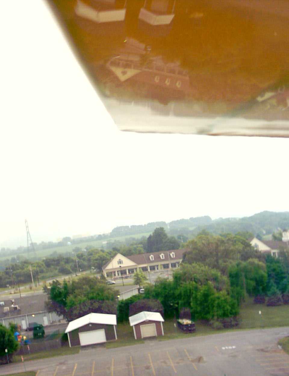
 Maintenance buildings on the Lopat School property. |
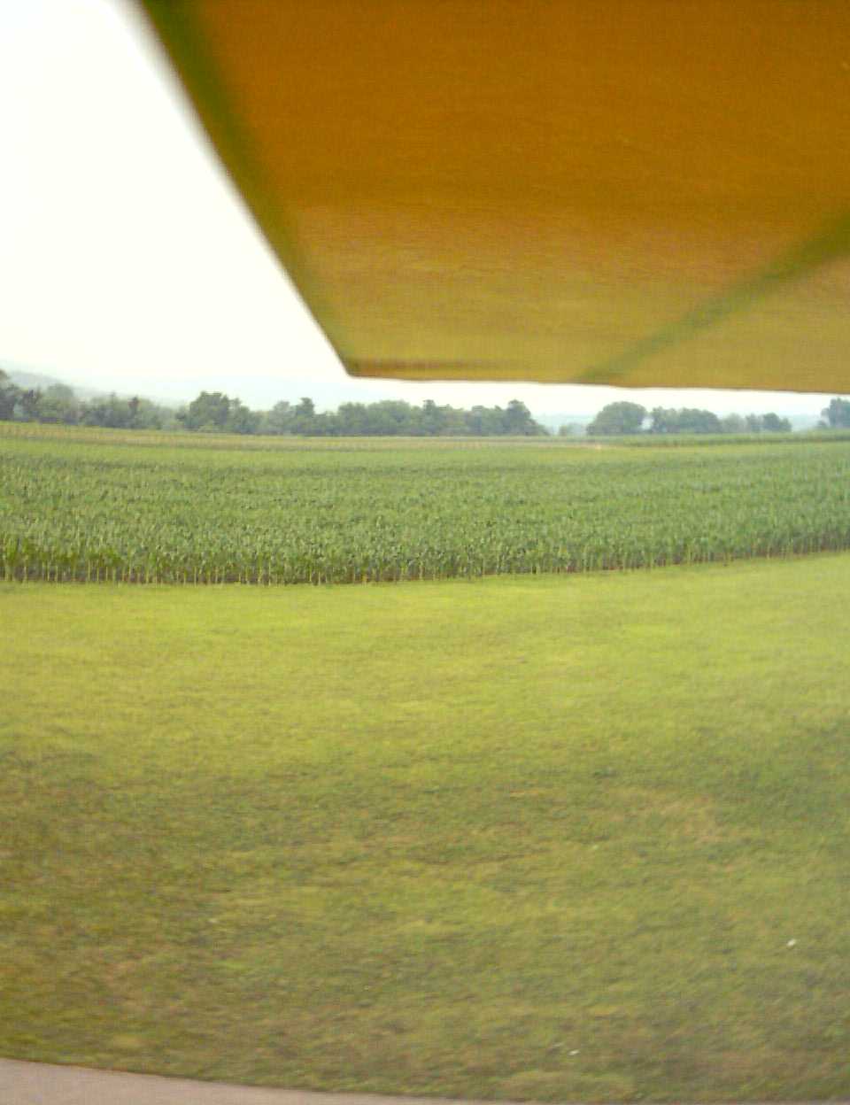
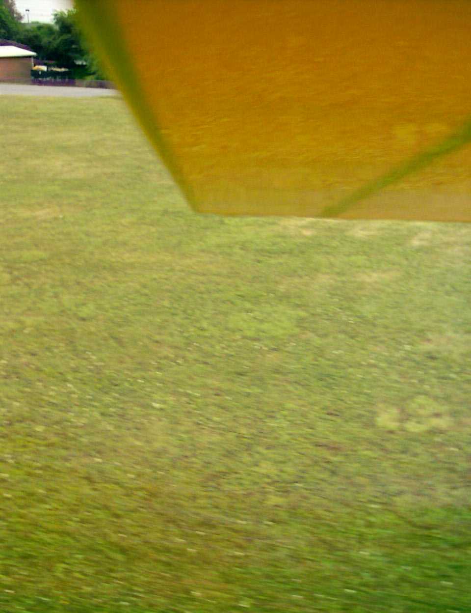
 Took a few shots during landing approach. |
 This was only about 4' altitude. |
 |
||